Quick answer
More than 90% of Egypt is desert, divided by the Nile into the vast Western Desert, the mountainous Eastern Desert and the Sinai Peninsula. Travellers mostly visit the Western Desert's White and Black Deserts, the Great Sand Sea beyond Siwa and the granite mountains of South Sinai; all need a licensed operator and are best from October to April, and remote border areas carry stricter travel advice.
How is Egypt's desert divided?
The Nile splits Egypt's desert in two: the Western Desert to its west, the Eastern Desert between the river and the Red Sea, with the Sinai Peninsula across the Gulf of Suez as a third, separate region. The green strip of the Nile Valley and Delta covers only a few per cent of the country, yet it holds nearly all of Egypt's more than 100 million people. Step a few hundred metres beyond the last irrigated field at Luxor or Giza and you are in the desert.
The three regions are very different. The Western Desert, the eastern edge of the Sahara, is a huge limestone and sandstone plateau broken by depressions that hold the oases. The Eastern Desert rises into jagged mountains of granite and volcanic rock cut by dry wadis. Sinai, a triangle of roughly 60,000 square kilometres, has the country's highest peaks in the south and sandy plains in the north. Ancient Egyptians called the desert the "red land", deshret, in contrast to the "black land" of the fertile valley.
The Western Desert: plateaus, depressions and seas of sand
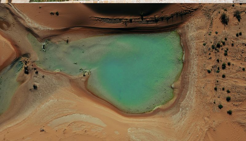
The Western Desert is the one most travellers see, for its white chalk formations, black-capped hills, oases and some of the largest dune fields on earth. It covers about two-thirds of Egypt. Its surface is a stony plateau, but where wind has scoured deep depressions the land drops close to underground water, creating the oases of Siwa, Bahariya, Farafra, Dakhla and Kharga. The Qattara Depression in the north falls to about 133 metres below sea level, the lowest point in Egypt; its impassable salt marshes anchored the southern end of the Allied line at El Alamein in 1942.
Between Bahariya and Farafra lie the landscapes on most desert itineraries: the volcanic-looking hills of the Black Desert, glittering Crystal Mountain and the wind-carved chalk of White Desert National Park. West and south of Siwa the Great Sand Sea stretches into Libya in long ridges of dunes. Scattered across its floor is Libyan Desert Glass, a pale yellow natural glass formed by an ancient impact or airburst; a carved scarab of it sits at the centre of one of Tutankhamun's pectorals.
In the far south-west, the Gilf Kebir plateau and Gebel Uweinat hold prehistoric rock art, including the Cave of Swimmers made famous by The English Patient. Reaching them takes a multi-day expedition with permits and escorts, and at the time of writing the border regions carry high-level travel warnings, so they are not realistic for most travellers.
The Eastern Desert: mountains, mines and monasteries
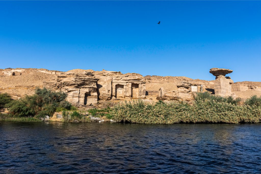
The Eastern Desert is a rugged band of mountains and wadis between the Nile and the Red Sea, rich in ancient quarries and mines, and most travellers cross it on the road between Luxor and the coast. Its Red Sea Hills rise above 2,000 metres in places. The Romans quarried rare purple porphyry at Mons Porphyrites and grey granite at Mons Claudianus, used for columns in imperial Rome. Pharaonic expeditions mined gold, and emeralds came from the Sikait valley, now part of Wadi el-Gemal National Park.
The ancient road through Wadi Hammamat, between Qift near Luxor and Quseir on the coast, is lined with pharaonic inscriptions and still carries traffic today. Near the Gulf of Suez, the monasteries of St Anthony and St Paul stand where Christian hermits settled in the 4th century, among the oldest monasteries in the world. The desert is home to the Ababda and Bishari peoples. From Hurghada and Marsa Alam you can take jeep trips into the wadis; choose a guided day with an Ababda or Bedouin host over a noisy convoy.
Sinai: granite mountains and Bedouin trails
South Sinai is Egypt's mountain desert, a high massif of red and grey granite where Bedouin guides lead walks between springs, walled gardens and summits. Mount Catherine, at about 2,629 metres, is the country's highest peak, and neighbouring Mount Sinai (Gebel Musa, about 2,285 metres) is climbed before dawn by pilgrims and walkers from St Catherine's Monastery below. The area was inscribed by UNESCO in 2002. Snow dusts the peaks in some winters, and nights at the village, around 1,600 metres, fall below freezing.
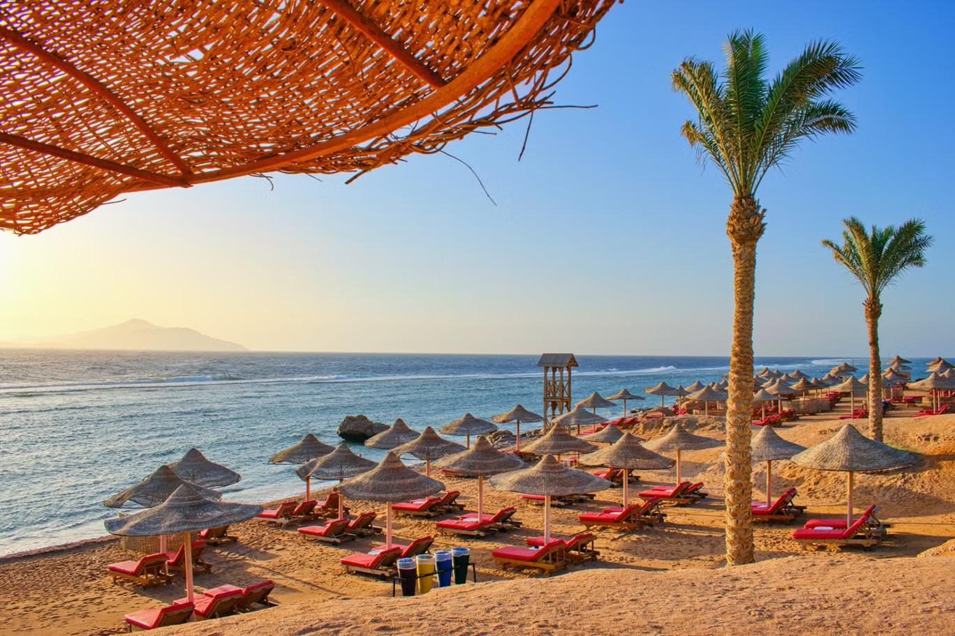
Away from the monastery, the Sinai Trail, created by Bedouin tribes in the 2010s, links the mountains and the Gulf of Aqaba coast on foot, and narrow slot canyons such as the Coloured Canyon near Nuweiba make good half-day walks. Walking is done with local guides from the Jebeliya and other tribes, which keeps income in the community. North Sinai is a different matter: travel advice for it is far stricter, and Sinai's rules change, so check before you plan. Our hiking in Sinai guide covers routes.
Which desert suits which traveller?
For a first desert night choose the White Desert; for dunes, springs and culture choose Siwa; for walking choose South Sinai; and with only a day choose Fayoum.
| Desert experience | Starting point | Time needed | Comfort | Best for |
|---|---|---|---|---|
| White and Black Deserts | Cairo, about 370 km to Bahariya | 2 days, 1 night minimum | Simple mobile camp | A first desert night, photographers, stargazers |
| Great Sand Sea | Siwa Oasis | Half-day safari within a 3-night Siwa stay | Eco-lodges in Siwa | Big dunes, sandboarding, springs, oasis culture |
| Fayoum deserts | Cairo, about 2–3 hours | Day trip or 1 night | Lodges or a camp | Short trips, families, whale fossils |
| South Sinai mountains | Sharm el-Sheikh, Dahab or St Catherine | 1–5 days | Bedouin camps and guesthouses | Hikers, pilgrims, cooler summer walking |
| Eastern Desert wadis | Hurghada or Marsa Alam | Half or full day | Back to your hotel | A desert taste on a beach holiday |
If you are torn between the two big Western Desert options, our Siwa vs the White Desert comparison sets them side by side.
How do you travel safely in Egypt's deserts?
Go with a licensed local operator who arranges the permits, uses well-maintained 4WDs and knows the checkpoints, and check the latest government travel advice for the specific area. Travel beyond the oases and main roads needs permits, which operators obtain from the authorities in advance, and you will pass police checkpoints where passports are checked, so keep yours handy. For remote routes, a good operator runs two vehicles, carries satellite or radio communication, spare fuel and plenty of water, and briefs you before departure.
At the time of writing, travel advice treats parts of the Western Desert, the border regions and North Sinai more strictly than the Nile Valley. Read the current advice on Smartraveller or SafeTravel before you book, and make sure your travel insurance covers remote areas. Phone coverage fades quickly outside the oases.
What is the desert climate like?
Desert days from November to February are a pleasant 18–25°C, but nights can fall close to freezing, while from May to September days often pass 40°C. The dry air means temperatures swing by 15–20°C between afternoon and pre-dawn, so you need sun protection and a warm jacket on the same trip. Spring brings the khamsin, a hot, dusty wind that can blow for a day or more. Our Egypt climate by region guide gives monthly figures for the oases, and our desert camping guide has the full packing list for a night out.
How do you leave no trace in the desert?
Take nothing but photographs: fossils, crystals, desert glass and flint tools all belong where they lie, and many are protected by law. Prehistoric stone tools and pottery sherds are scattered across the Western Desert and count as antiquities. Don't climb or carve the soft chalk formations, which erode with every footprint. Carry toilet paper out in a bag, keep vehicles on existing tracks, since tyre marks in the White Desert can last for years, and leave springs and wells clean for the people and animals who depend on them.
Frequently asked questions
How much of Egypt is desert?
More than 90% of Egypt is desert. Almost the whole population lives in the narrow Nile Valley and Delta, along the coasts and in the oases, which together cover only a small fraction of the country.
Is the Sahara in Egypt?
Yes. The Western Desert is the eastern part of the Sahara, often called the Libyan Desert. The Eastern Desert and Sinai are usually treated as separate desert regions, though geographers sometimes include them in the wider Sahara.
What is the difference between the White Desert and the Black Desert?
The White Desert is a plain of white chalk sculpted by wind into pillars and mushroom shapes. The Black Desert, closer to Bahariya, is orange sand with hills capped by dark, iron-rich rock. Most trips visit both in a day, then camp in the White Desert.
Can you visit the Gilf Kebir and the Cave of Swimmers?
Only on a specialist multi-day expedition with permits and escorts, and at the time of writing the far south-west border region carries high-level travel warnings. Check Smartraveller before considering it; for most travellers the White Desert and Siwa are the realistic options.
Does it snow in Egypt's deserts?
Rarely, but it does happen on the high peaks of South Sinai around Mount Catherine in some winters. Elsewhere, desert nights in December and January can reach freezing, but snow is almost unknown.